GrfMap360
360° inventory and inspection solution
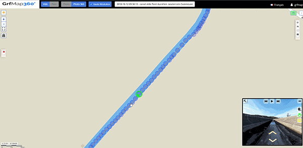
GrfMap360° is a 'tailor-made' StreetView (Google™) cartographic navigation solution. This solution allows you to simply take 360° field images as well as geolocated HD views and then publish them on the webSIG GrfMap interface. You have, from a unified interface, a vision of your cartographic data as well as a field vision of the areas/tracks/installations covered.
High definition 360 ° views
Feature
360° views / HD views
Whether for inventories, training, promotions or preparation of interventions. The 360° and HD views allow you to project yourself into the field in a few moments.
Intuitive navigation
Simple and customizable, the navigation allows, from a web interface, to make the discovery of the site accessible to all members of the team as well as to customers and partners.
Simple and affordable
Not requiring any specific training, the GrfMap360 solution can be deployed quickly with commissioning and maintenance costs adapted to your needs.
With your GIS data
Take advantage of all the online publishing functionalities of your GIS information with GrfMap and bring your data to life with real field visualization.
Application areas
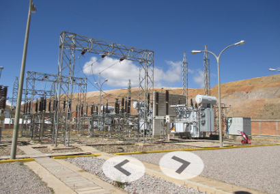
Factories, classified installations, sensitive sites
Inventories, evacuation plan, crisis management

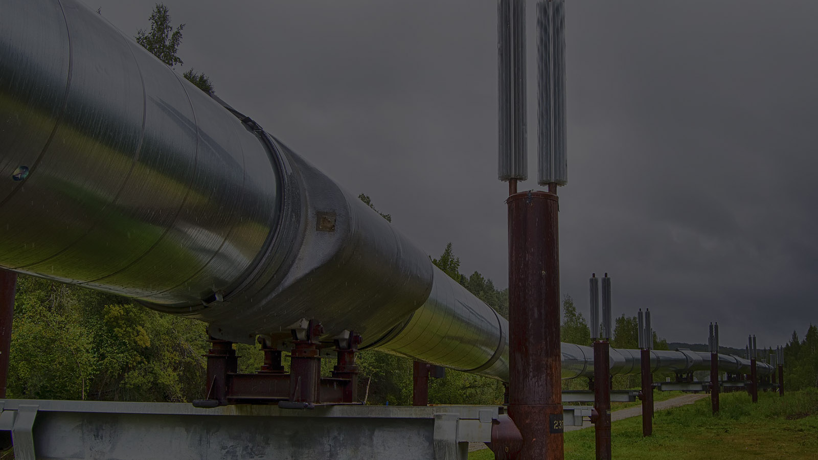
Irrigation canals, fences, pipelines
Inventories, work planning, intervention monitoring, communication
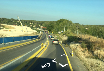
Roads and highways
Inventories, work planning, intervention monitoring, communication