-
CartoEco
Economic wealth management solution
CartoEco
Economic Cartography
An economic mapping allows institutional actors to better know their economic actors to respond as accurately as possible to their concerns, to give them the necessary information, to support them in their development and changes, to constitute a center of reflection and proposals at the service of their territory.
Note: Here is an image caption
For Consular Chambers
Get to know nationals better to respond more precisely to their concerns, to give them the necessary economic information, to support them in their changes, to constitute a center of reflection and proposals at the service of the economic world.
Features
Develop your economic heritage
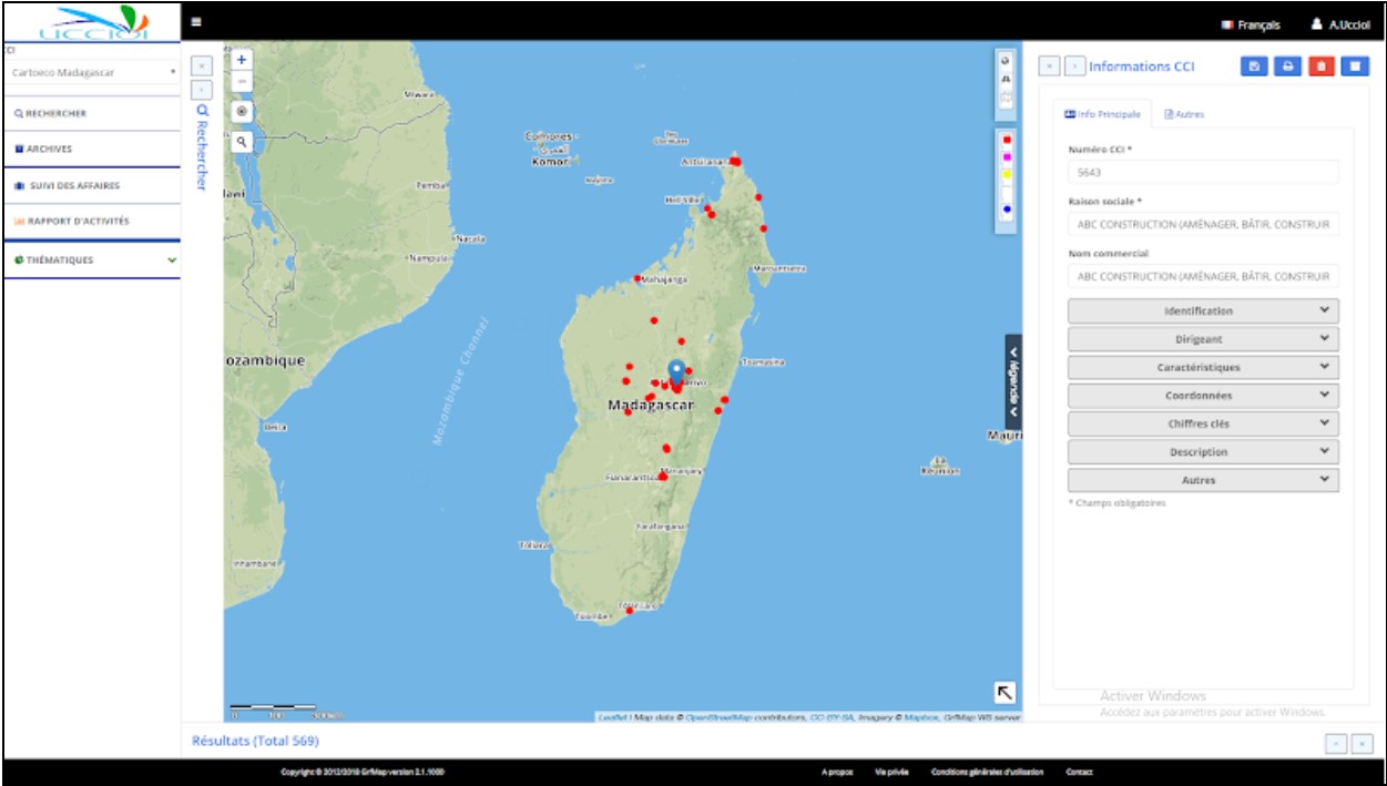
On the basis of economic information collected from the identified sources, an economic information database will be created and will make it possible to develop qualitative analyzes of the economic situation of the target economic zones.
Geolocated data
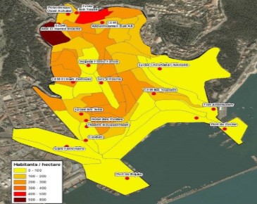
Town planning, management of water and sanitation networks, roads, public transport, plot management, topographic calculations, land use plan, road networks, cable networks...
Guide your users
Transfer, reception, storage and analysis of demographic, topographic and geographic data.
Statistics
Search for location of sites or buildings, optimization of a logistics journey, planning, marketing and communication.
Application areas
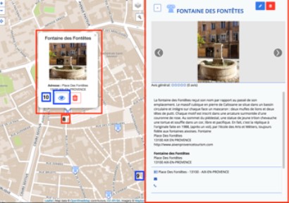
Rediscover your heritage
GrfMapEco guides you by informing the application to rediscover your environment and economic park.
Thematics
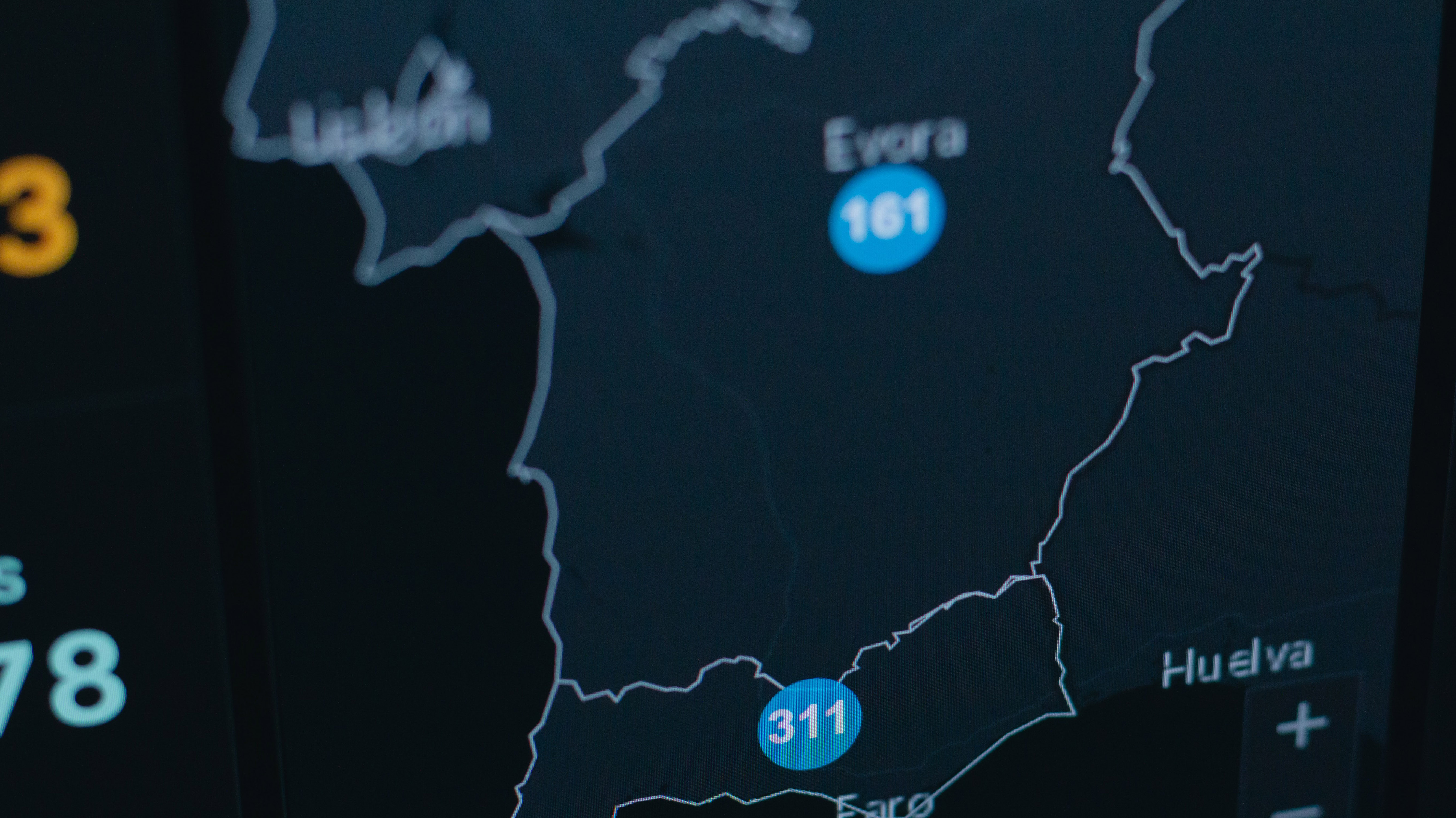
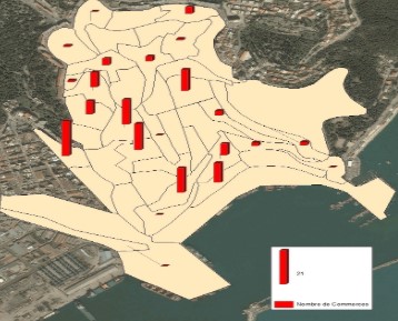
Data processing and analysis and cross-referencing with geographic objects allow the calculation of a number of spatial indicators. Several of these indicators are illustrated in the maps.
Economic data
The different cartographic data to be implemented in this project are:
- Economic points
- Cadastral data
- Administrative data